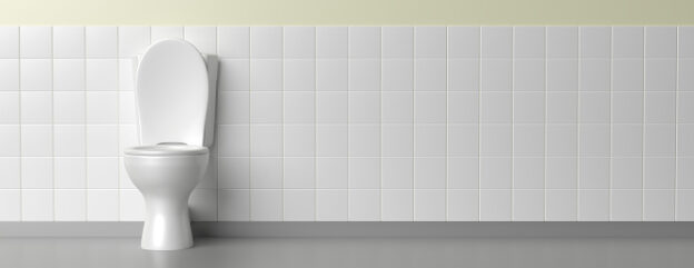
Whether you are a tourist or a resident of NYC we can all relate to one thing- we all have to use the restrooms eventually. I wanted to choose to map something helpful and that everyone can use no matter the level of technological variance. In which I chose to map unknown and or really nice restrooms, for the sake of accessibility, I have limited it to only Manhattan and 23 restrooms. All of these restrooms are chosen from Got2GoNYC which is created by Teddy Siegel.
The Process:
For the actual mapping component, I chose the program Tableau as I am familiar with this program and I wanted to ensure a “Tooltip” is visible. The information that is visible in the “Tooltip” is the restroom name (font size 15), the location, ADA accessibility, details (lock code, amenities, etc), and Gender(s) listed after (font size 10). The background is to be visible via streets and public transportation because if I used a modernistic approach many would use it as a list instead of a map. The markers (scaled larger) originally were blue but I decided to make it an opaque black for visibility and for it not to be confused with public transportation.
In the future, I hope to map more restrooms for different boroughs but would encounter difficulties with overlapping markers, restoration of data, etc. It would also be interesting on how many restrooms are still available from 1980-2022.

This entry is licensed under a Creative Commons Attribution-NonCommercial-ShareAlike 4.0 International license.